Core Location Scanning and Documentation, “23rd Century Style”
GPR scanning in 2D or 3D mode is something that every competitor is offering to the industry, but what if OmniVueNDT raises the standards and gives more information to General Contractors and our Clients and future Clients?
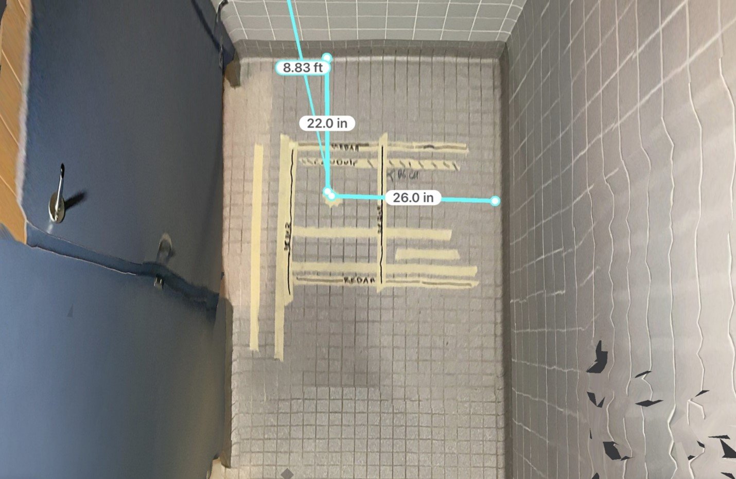
OmniVueNDT is a forward thinking company. We are doing business in a different way. Giving more information to our clients should not always mean raising the price. The following images show a precisely scanned GPR image in 3D mode that was used to clear coring location to support a plumbing project.
The second and third images show a thoroughly documented site after the findings were marked out on the floor. The second and third images are snapshots of the 3D imaging that was collected with a LiDAR. By documenting the site in this way the rebar/PT/conduit mark out is fully measurable.
By using this style of documentation, the client is now capable of taking measurements on this 3D digital screen without visiting the site. That type of remote sensing could support design work for major Construction Companies in the future.