

GPR & LASER SCANNING SERVICES
We offer concrete scanning services which includes ultra-high frequency GPR (Ground Penetrating Radar) and Laser Scanning. Our equipment is used to determine precise positioning of concrete, columns and other components, surface flatness analysis, and health and safety compliance.
Concrete scanning - BEAM
Concrete scanning on a PT slab
Layer thickness mapping
ST condition assessment
3D Documentation
General In-Situ Metrology
Heat Exchanger and Furnace Warping Inspection, Refineries or Oil and Gas Industry
Long Range Laser Scanning
Short Range Laser Scanning
Contractors using OmnivueNDT are prepared for anything.
OmniVueNDT prides itself with a responsive, knowledgeable and experienced staff of engineers, geophysicists, geologists, certified field technicians. We provide services throughout the country and abroad (Canada and Mexico) for public, commercial, Industrial and residential projects. All laboratory tests are conducted in accordance with ASTM D6432 standards.

Home Construction Sites

Industrial Sites
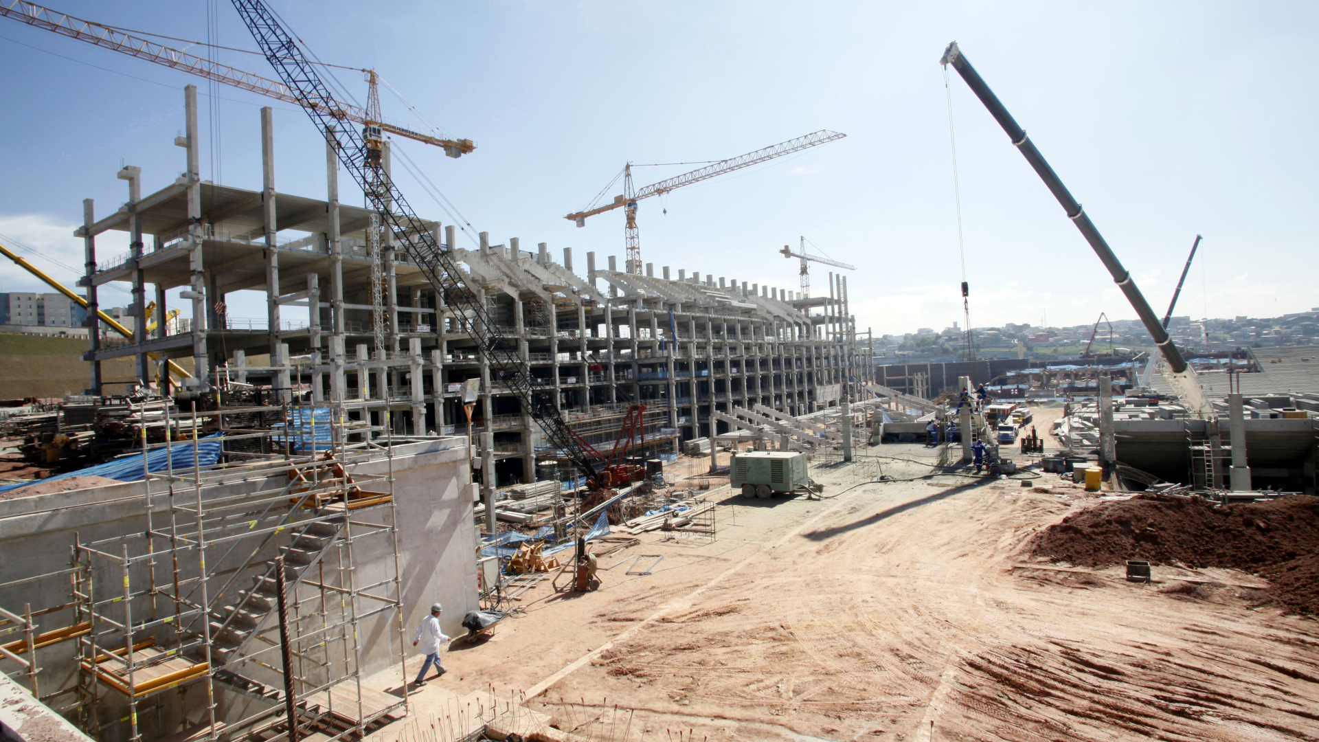
Construction Sites
Mitigate complications that can arise on site before they happen, OmnivueNDT ensures site safety and compliance.
Why use Ground Penetrating Radar?
Ground Penetrating Radars work by sending electromagnetic waves into the ground, which produce echoes from subsurface objects. GPR records these echoes to acquire real-time visuals of utilities buried underground.
Locating buried utilities can be accomplished with a variety of equipment. Cables and metal pipes are usually energized with the electric current using the magnetic field. However, when access is difficult and the object underneath the ground cannot be located with current (nonmetallic elements), GPR is the best option. In addition to locating metallic as well as non-metallic objects buried deep inside the ground, GPR also detects soil conditions and its own source of energy.
Why use Laser Scanning?
Laser scanning, also called high definition surveying (HDS), is a method of high-accuracy mapping or reality capture that uses laser beams to quickly capture complete detail of the entire building construction project. This detailed 3D representation of the building project is often called a point cloud. Laser scanning has since been adopted for many other uses, including building construction and building information modeling (BIM).
Rework accounts for 12%-15% of a typical construction project. With laser scanning, you can reduce rework to 1 to 3 percent or less. As a result, this reduction translates into hundreds of thousands of dollars in savings on change orders, not to mention the advantage of keeping the project on schedule.
Start today!
Need Help with GPR or Laser Scanning Solutions on your site? We're here to help!