
Projects and Case Studies

Ground Disturbance Permit Support
OmniVueNDT provided ground disturbance permit support using ground penetrating radar (GPR) and subsurface investigation methods to identify underground hazards prior to excavation. The project focused on ensuring compliance with site requirements while locating utilities and potential subsurface risks. By utilizing non-destructive testing techniques, OmniVueNDT delivered accurate data to support safe excavation practices, reduce risk, and streamline the permitting process.

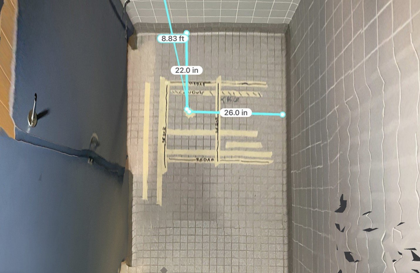
GPR Floor Scanning
OmniVueNDT performed GPR floor scanning to identify embedded elements within a concrete slab prior to construction and renovation activities. The project focused on locating rebar, conduits, and other subsurface features to prevent damage during drilling, coring, and cutting operations. Using non-destructive testing methods, accurate subsurface imaging was provided to enhance safety, reduce risk, and support efficient project execution.

Condition Assessments with UPV – Grade Beam
To ensure accurate results, an Ultrasonic Pulse Velocity (UPV) instrument was used to assess the integrity of the grade beam due to the accessibility of both sides of the structure. Signal velocity readings were collected based on the given wall thickness information and the signal trace characteristics.

Grade Beam Identifications - Residential Project
OmniVueNDT performed GPR scanning to identify grade beam locations within a residential structure prior to construction and modification activities. The project required accurate mapping of structural elements to prevent damage during drilling, cutting, and renovation work. Using non-destructive testing methods, precise subsurface data was provided to support safe construction practices, reduce risk, and ensure the integrity of the foundation system.

Condition Assessments with Impact Echo – Concrete Beam
OmniVueNDT performed a condition assessment of a concrete beam using impact echo testing to evaluate internal structural integrity. The project focused on identifying potential defects such as voids, delamination, or other hidden anomalies within the concrete. Using non-destructive testing methods, accurate data was collected to support structural evaluation, reduce risk, and inform maintenance or repair decisions.

Concrete Scanning With GPR - Documentation in the 21st Century
OmniVueNDT performed concrete scanning using ground penetrating radar (GPR) to deliver advanced documentation of subsurface conditions. The project focused on capturing accurate data on embedded elements such as rebar, conduits, and other structural components. By utilizing non-destructive testing methods, OmniVueNDT provided enhanced visualization and documentation to support precise planning, reduce risk, and improve overall construction efficiency.

Agriculture GPR - Drainage Tile Mapping
OmniVueNDT utilized ground penetrating radar (GPR) to perform drainage tile mapping for agricultural applications. The project focused on accurately locating subsurface drainage systems to support effective land management and optimize field performance. Using non-destructive testing methods, detailed subsurface data was collected to help identify tile layouts, improve drainage efficiency, and support informed decision-making for agricultural operations.

Subgrade Condition Assessments
OmniVueNDT performed subgrade condition assessments using ground penetrating radar (GPR) to evaluate underlying soil and subsurface conditions. The project focused on identifying voids, inconsistencies, and potential weaknesses that could impact load-bearing capacity and long-term performance. Using non-destructive testing methods, accurate subsurface data was provided to support safe construction practices, improve planning, and reduce the risk of settlement or structural issues.
Core Location Scanning and Documentation, “23rd Century Style”
OmniVueNDT performed core location scanning and documentation using ground penetrating radar (GPR) to accurately identify subsurface features within a concrete structure. The project focused on providing precise data for core drilling locations while minimizing risk to embedded elements such as rebar and conduits. Using non-destructive testing methods, detailed subsurface imaging was delivered to improve accuracy, enhance documentation, and support efficient and safe construction practices.
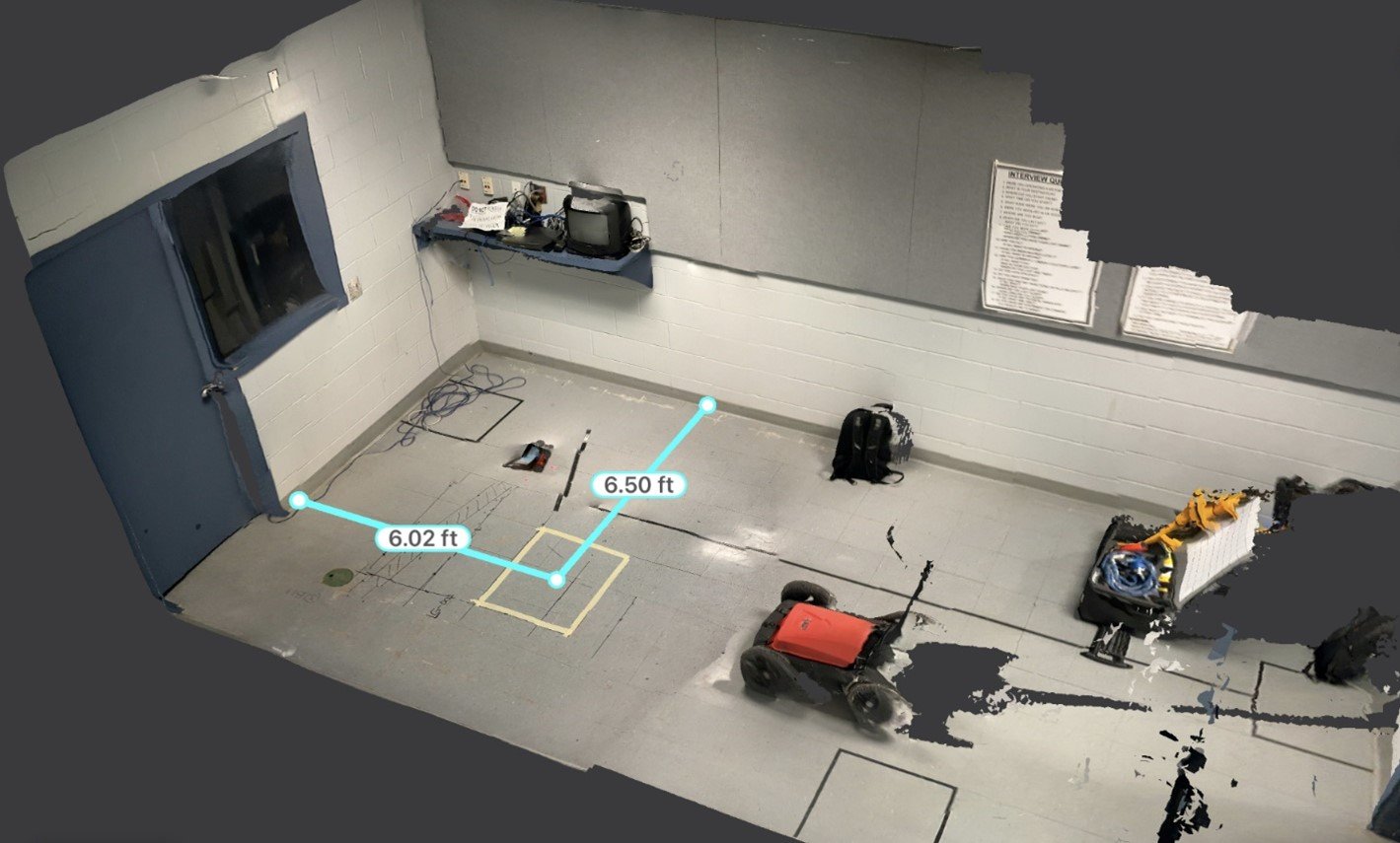
Documentation in a Different Way
OmniVueNDT provided innovative project documentation using advanced ground penetrating radar (GPR) and imaging technologies to capture both subsurface and structural data. The project focused on delivering a more comprehensive and visual representation of existing conditions to support engineering and construction decisions. By utilizing non-destructive testing methods, OmniVueNDT enhanced data clarity, improved communication, and enabled more informed project planning.

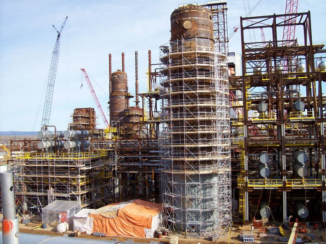
Project Engineering Support
OmniVueNDT provided project engineering support using ground penetrating radar (GPR) and non-destructive testing (NDT) methods to deliver accurate subsurface data. The project focused on assisting engineers with critical information needed for planning, design, and execution. By utilizing advanced imaging and inspection technologies, OmniVueNDT helped reduce uncertainty, improve decision-making, and support safe and efficient project outcomes.
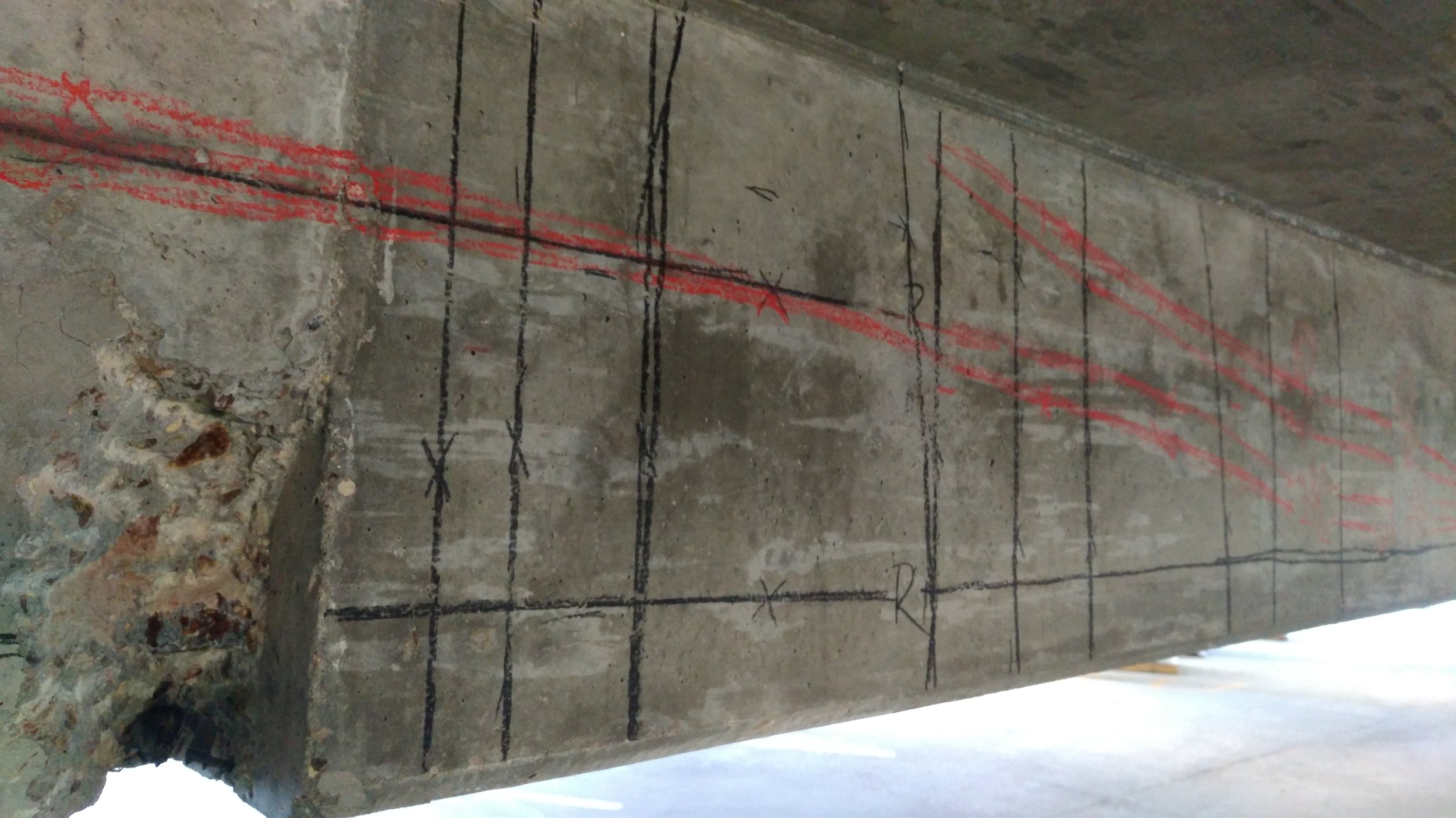
Post Tension Cable Project #2
OmniVueNDT utilized ground penetrating radar (GPR) to detect post-tension cables within a concrete structure prior to construction activities. The project required accurate identification of embedded cables to avoid damage during cutting, coring, and drilling operations. Through non-destructive testing methods, precise subsurface data was provided to improve safety, minimize risk, and support efficient project execution.
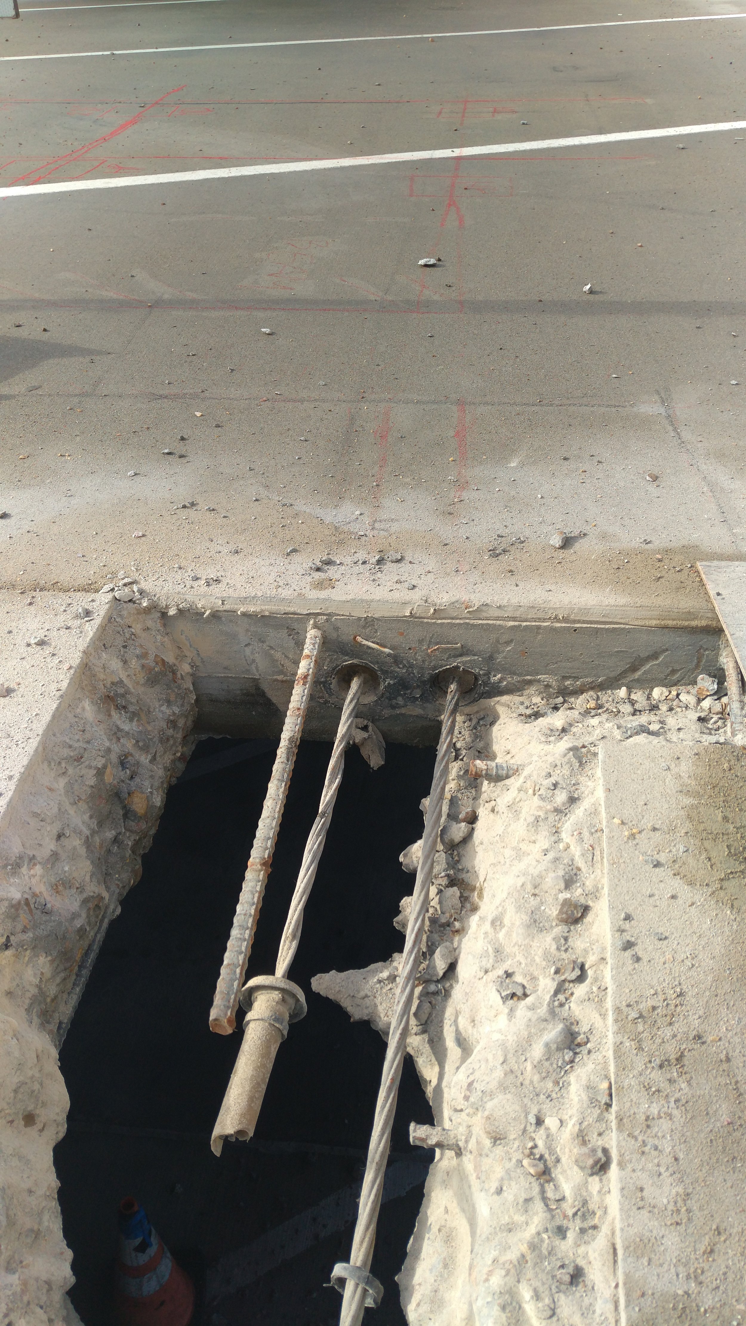
Post Tension Cable Project #1
OmniVueNDT performed GPR scanning to accurately locate post-tension cables within a concrete structure prior to modification. The project required precise identification of cable placement to prevent damage during coring, cutting, and drilling activities. Using non-destructive testing methods, detailed subsurface imaging was provided to enhance safety, reduce risk, and ensure the integrity of the structure.
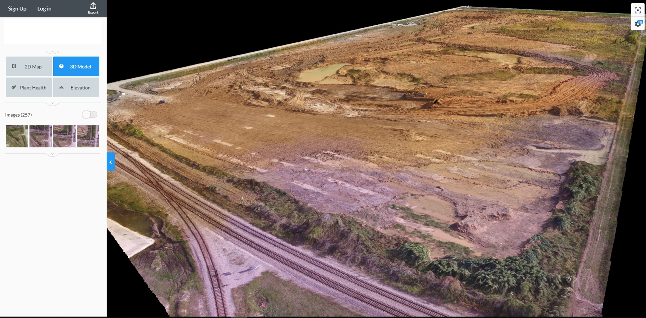
Aerial Imagery with UAS
OmniVueNDT utilized unmanned aerial systems (UAS) to capture high-resolution aerial imagery for site analysis and project planning. The project focused on collecting accurate visual data from above to support mapping, inspection, and overall site evaluation. By leveraging advanced drone technology, OmniVueNDT provided efficient data collection, improved visibility of site conditions, and enhanced decision-making for construction and infrastructure projects.

Utility Locating Project
OmniVueNDT performed utility locating services using ground penetrating radar (GPR) at an AutoZone site to identify underground utilities prior to excavation. The project focused on locating buried pipes, conduits, and infrastructure to prevent utility strikes and ensure safe construction activities. Using non-destructive testing methods, accurate subsurface data was provided to support planning, reduce risk, and improve overall project safety.
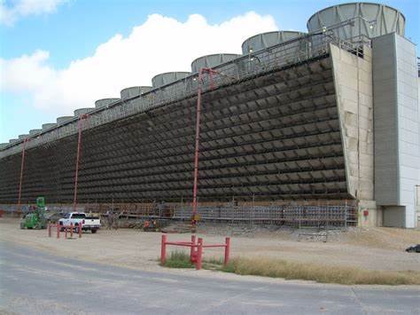
Cooling Tower Maintenance Support with NII
OmniVueNDT provided cooling tower maintenance support using non-intrusive inspection (NII) methods and ground penetrating radar (GPR) to assess structural conditions and identify potential issues. The project focused on evaluating critical components without disrupting operations, ensuring continued performance and safety. By utilizing non-destructive testing techniques, OmniVueNDT delivered accurate data to support maintenance planning, reduce risk, and enhance the reliability of industrial systems.

Subsurface Utility Investigation - SUI
OmniVueNDT performed a subsurface utility investigation (SUI) using ground penetrating radar (GPR) to accurately locate underground utilities prior to excavation. The project focused on identifying buried pipes, conduits, and other infrastructure that could pose risks during construction activities. Using non-destructive testing methods, precise subsurface data was provided to prevent utility strikes, improve planning, and ensure safe and efficient project execution.

Restaurant Remodelling
OmniVueNDT performed GPR scanning to support a restaurant remodeling project by identifying embedded elements within the concrete structure. The project required accurate location of rebar, conduits, and utilities prior to cutting, coring, and modification activities. Using non-destructive testing methods, detailed subsurface imaging was provided to reduce risk, prevent damage, and ensure safe and efficient renovation of the space.
Subsurface Hazard Recognition - Scaffolding
OmniVueNDT performed GPR scanning to identify subsurface hazards beneath scaffolding locations prior to setup. The project focused on detecting voids, unstable ground conditions, and hidden anomalies that could compromise load-bearing capacity and worker safety. Using non-destructive testing methods, accurate subsurface data was provided to support safe scaffolding installation, reduce risk, and ensure stable working conditions in demanding environments.

Reverse Engineering with GPR (Ground Penetrating Radar)
OmniVueNDT utilized ground penetrating radar (GPR) to support reverse engineering efforts by identifying subsurface structures and embedded elements within existing construction. The project required accurate data to understand unknown conditions and support design, modification, or analysis of the structure. Using non-destructive testing methods, detailed subsurface imaging was provided to improve planning, reduce uncertainty, and enable informed engineering decisions.